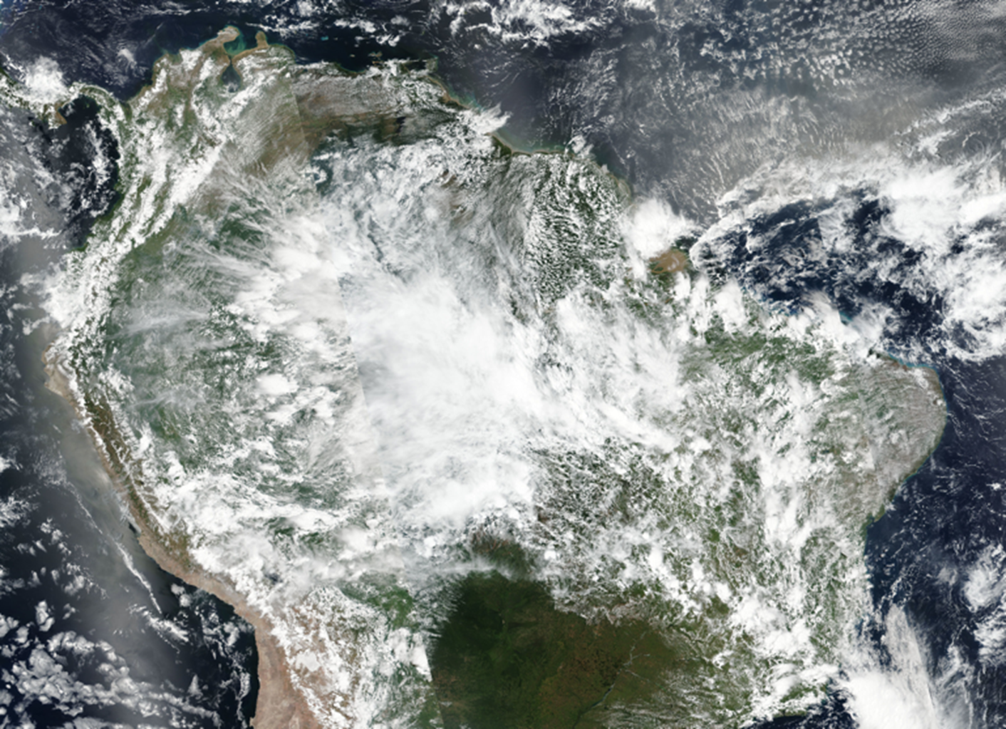
Characterizing giant storm precipitation in the central Amazon
Submitter
Fast, Jerome D — Pacific Northwest National Laboratory
Area of research
Cloud Processes
Journal Reference
Science
The prediction of rainfall over the Amazon rainforest by weather and climate models is highly uncertain, particularly for large rainstorms, which are commonly seen during the wet season, from March to May. Using an advanced object tracking algorithm, researchers tracked storms that were observed by satellite and then simulated them in models. This coupled analysis helped explain how rainfall was produced as a function of the number of storms, as well as their size, rain intensity, and lifetime. The results show that the model tends to simulate rainfall in the storm center that is too heavy and underpredicts the spatial extent of surrounding moderate precipitation.
Impact
Researchers used a novel storm tracking method to fully characterize the life cycle of cloud and precipitation in association with the large rainstorms over the Amazon rainforest. By comparing the tracking statistics derived from a suite of observational and model data, they identified key factors that caused the unfavorable model prediction in precipitation, including the excessive intensity in heavy rain and significant underestimation in cloud cover of moderate rain. The outcomes of this research shed light on refinement of cloud and precipitation processes in cutting-edge models, potentially yielding more accurate climate projections.
Summary
Large and deep cloud clusters, also known as mesoscale convective systems (MCS), are frequently observed in the Amazon basin and contribute to a large fraction of regional rainfall. However, weather and climate models fail to realistically reproduce their life cycles and behaviors, which ultimately increases uncertainty in climate projections. To unveil key factors that contribute to the overall precipitation bias, researchers used an advanced MCS tracking algorithm to extract information about the MCS activities. This included, but was not limited to, the occurrence frequency of MCS, as well as their size, rain intensity, and duration. Results showed that the model produces fewer and smaller MCS than observed, but the total rainfall amount is often overestimated. This is because simulated MCS produce unrealistically intense heavy rainfall events. Conversely, light and moderate rainfall events are mostly underrepresented by the model. Thus, the model error in total precipitation is determined by how these two factors counterbalance each other. By using radiosonde data to better constrain background meteorological conditions, researchers also found that the model representation of these data is critical for simulating realistic MCS properties.


